Bubble Map
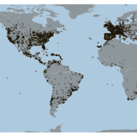
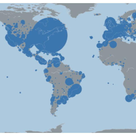
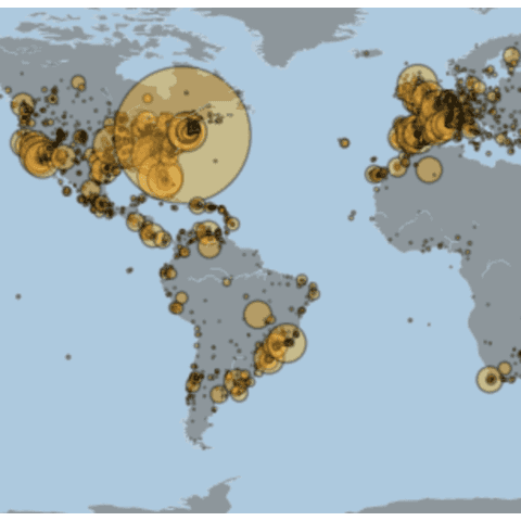
A bubble map uses circles of different size to represent a numeric value on a territory. It displays one bubble per geographic coordinate, or one bubble per region. As for background maps, several python libraries are useful to build them: folium, geopandas, geoplot and basemap are listed here.
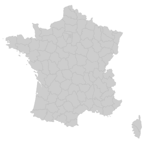
Geopandas and GeoPlot
Seaborn is another great alternative to build an area chart with python. The below examples show how to start basic, apply usual customization, and use the small multiple technique for when you have several groups to compare.
Bubble map with Folium
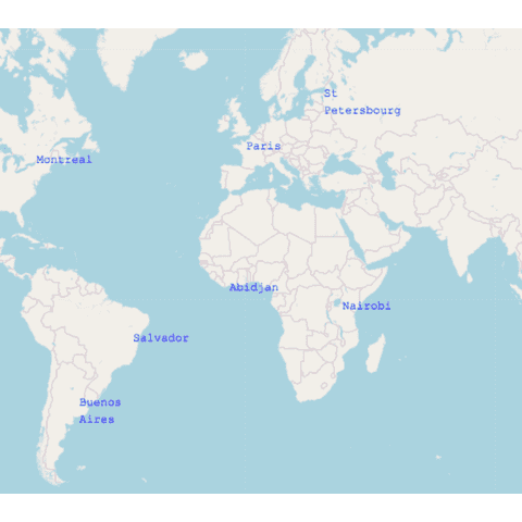
Folium is a wrapper of the leaflet.js javascript library. Once you understood how to initialize an interactive map with it, you can parse a data frame of coordinates and add markers to the map with functions like Circle() and ..()
It is also possible to add any other kind of markers instead of circles. This is what you get with the default folium.Marker() function:
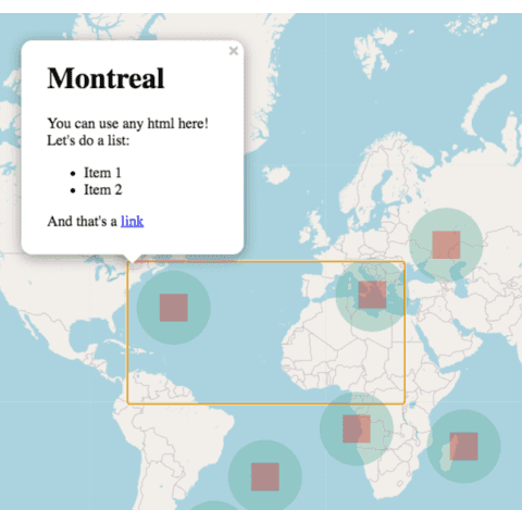
And this is what you can build by passing some html to the marker and popup parameters:
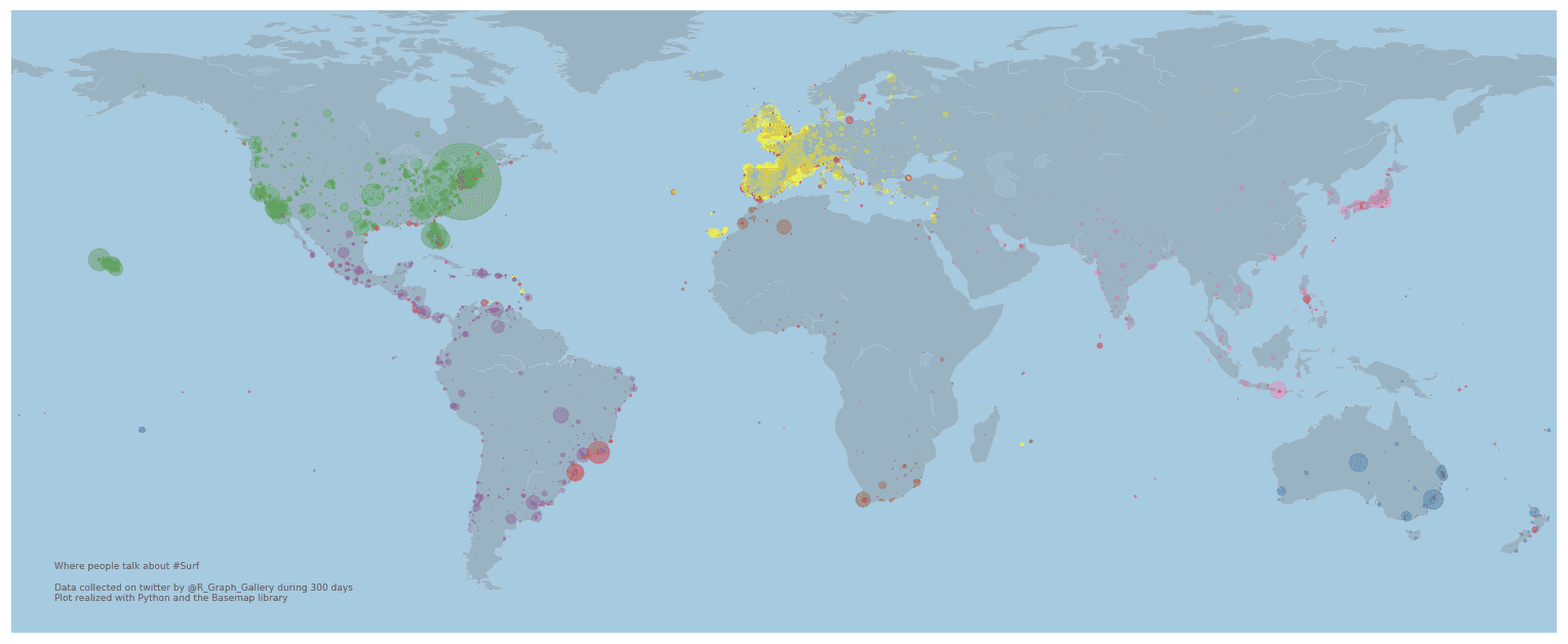
Bubble map with Basemap
Seaborn is another great alternative to build an area chart with python. The below examples show how to start basic, apply usual customization, and use the small multiple technique for when you have several groups to compare.
Best bubble map examples
The below examples show how to create advanced bubble maps with python using real life data.
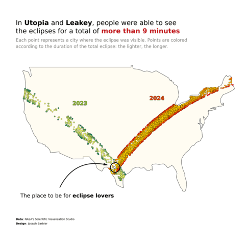
Bubble map with a scatter plot on top of it
Contact
👋 This document is a work by Yan Holtz. You can contribute on github, send me a feedback on twitter or subscribe to the newsletter to know when new examples are published! 🔥
